Pokémon Go Scans Trained Military Drone Navigation — You Were the Unpaid Intern
Your 3 a.m. Pikachu hunts just helped teach drones how to navigate. You weren't asked, but thanks anyway.
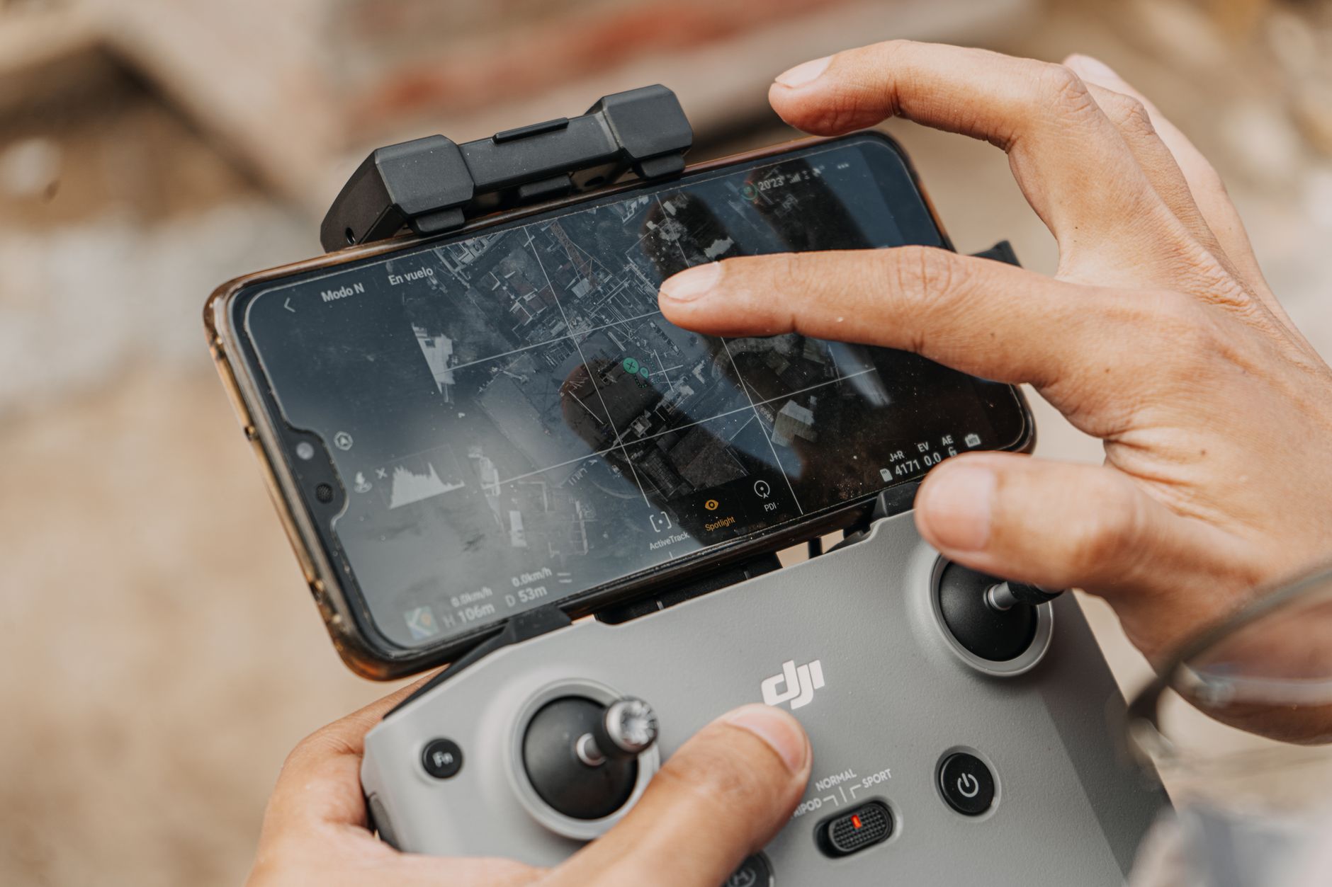
Remember those 3 a.m. runs to catch a rare Pokémon, with neighbors giving you weird looks? Turns out your suffering wasn't in vain — just don't thank Professor Willow. Thank Niantic, who fed your movement data to the military.
According to DroneXL, Vantor (the folks building drones for the Pentagon) used Pokémon Go scans to train navigation algorithms. Essentially, millions of players unknowingly created a giant world map with walkability markers: where you can walk, where there's a fence, and where the bushes hide yet another Psyduck.
Technically, it's brilliant: instead of sending expensive lidar drones down every alley, they tapped into a ready-made dataset from an army of Pokémon hunters. This data is way more detailed than satellite imagery: it knows there's construction around the corner and a fresh puddle in the park. And it's centimeter-accurate because players walked, not drove.
But here's the catch: players didn't exactly sign up for military R&D. Niantic's terms of service mentioned data use "to improve services," but nobody pictured a missile-toting drone instead of a Poké Ball. Then again, a drone that knows where the narrow sidewalks are could be useful for pizza delivery too — but pizza, sadly, doesn't shoot back.
METABYTE studio comment: We've always said data is the new oil. Turns out you can drill for it while playing mobile games. If your startup wants to monetize user data without the scandal, hit us up — we'll show you how to do it transparently and avoid becoming a headline about military drones.
NEXT STEP
Liked the approach?
We apply the same principles to client projects: AI, automation, products that don't die after launch.